
Bringing Your Landscape Vision Into Focus
Services Offered:
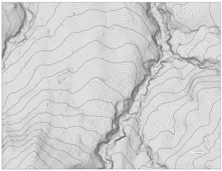
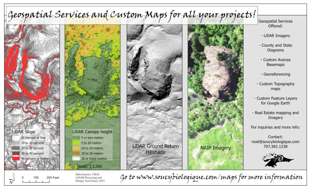
LiDAR maps
Light Detection and Ranging (LiDAR) is a remote sensing technology that uses laser pulses to create 3D models of the Earth’s surface.
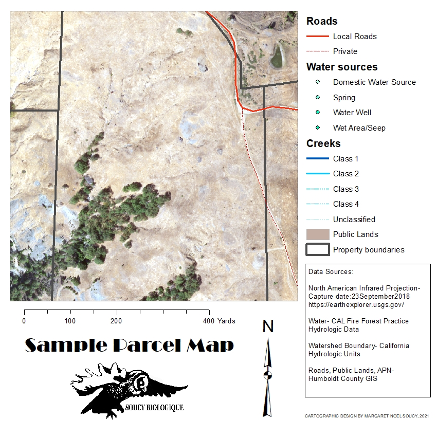
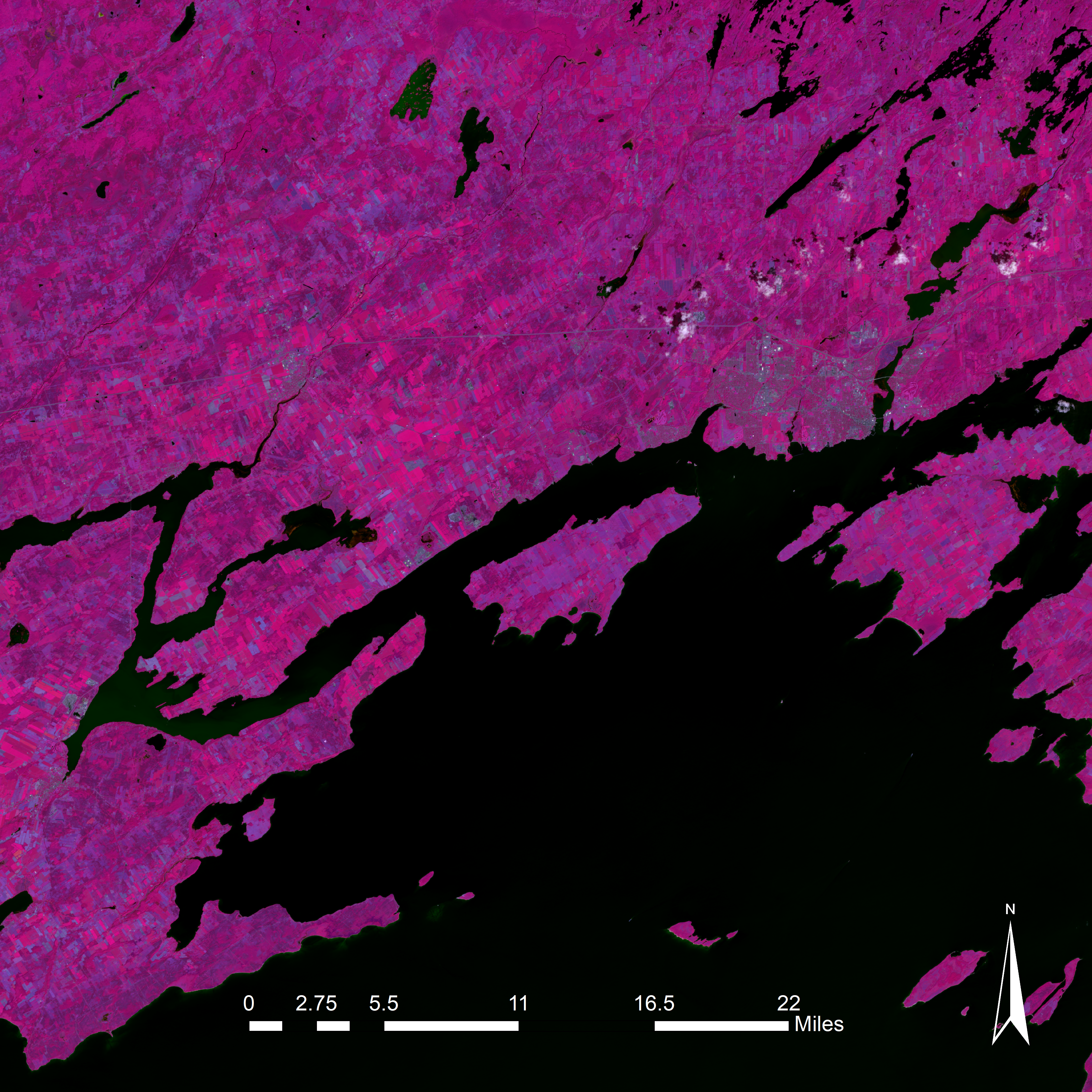
Custom GIS Maps and Geospatial Analysis
Have a custom map made for any project. Maps are available in many formats including printable map layouts, Google Earth layers, and geo-referenced basemaps that you can open on your smart phone.

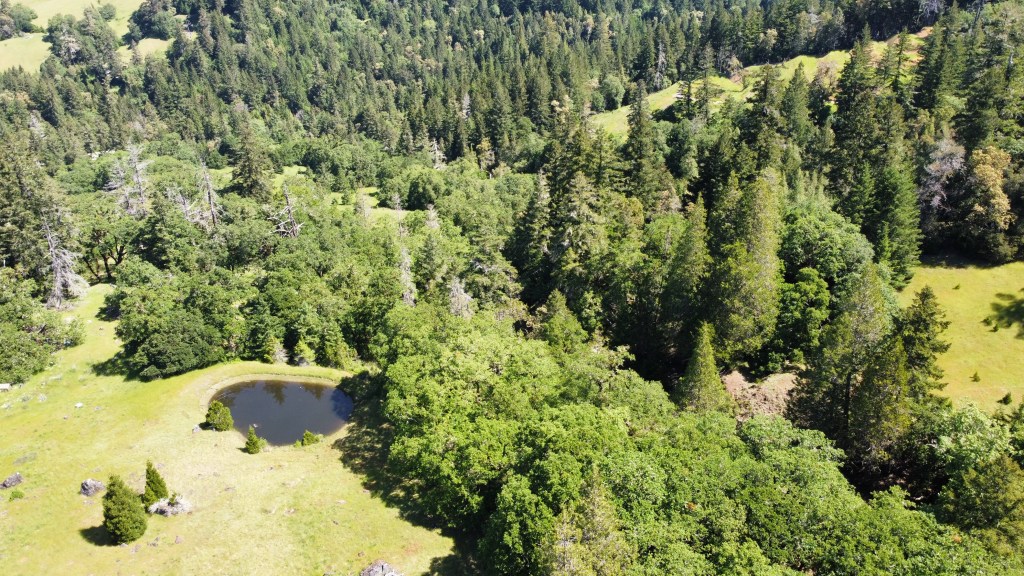
UAV Drone Imagery
Coming Soon!
Not all those who wander are lost.
J. R. R. TOLKIEN

Noel Soucy
P.O. Box 82 Miranda Ca 95553
Phone: 707 382 1238
noel@soucybiologique.com
Your message has been sent

