
Bringing Your Landscape Vision Into Focus
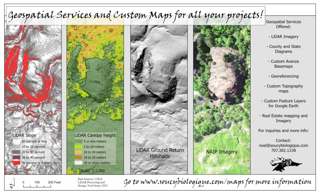
Services Offered:
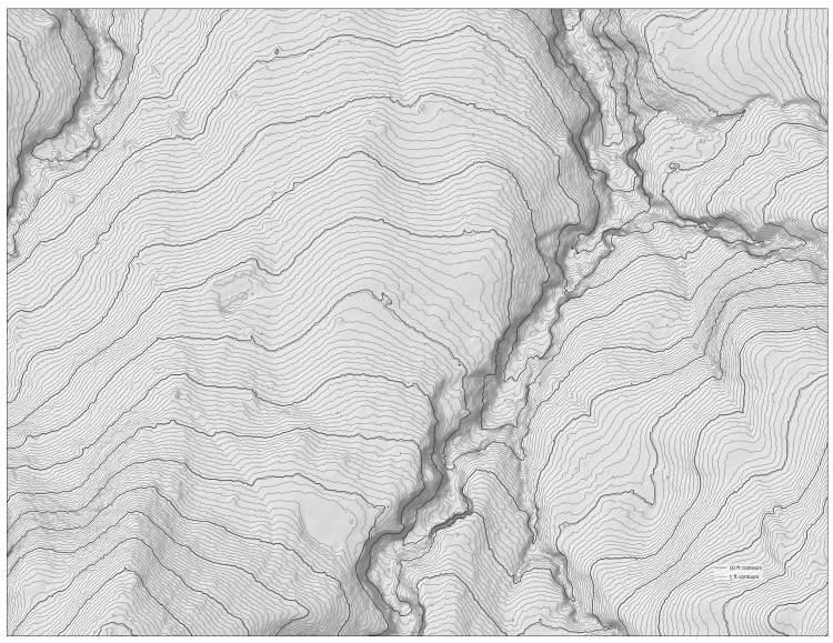
LiDAR maps
Light Detection and Ranging (LiDAR) is a remote sensing technology that uses laser pulses to create 3D models of the Earth’s surface.
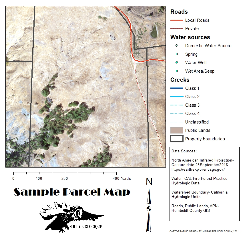
Custom GIS Maps and Geospatial Analysis
Have a custom map made for any project. Maps are available in many formats including printable map layouts, Google Earth layers, and geo-referenced basemaps that you can open on your smart phone.

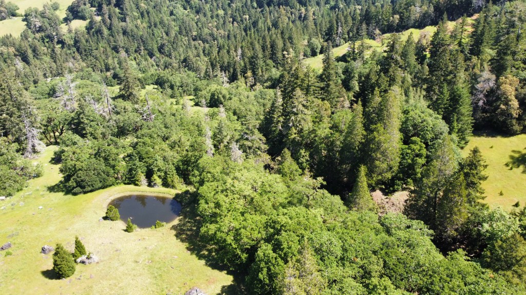
UAV Drone Imagery
Coming Soon!
Not all those who wander are lost.
J. R. R. TOLKIEN


